October 23, 2021 - Federhart Fly-In/Party
|
|
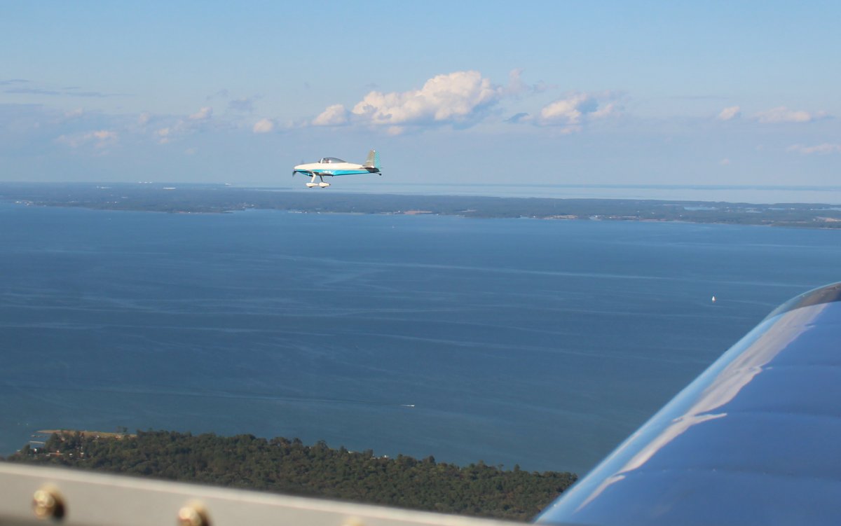
Back in late August, Mugsy and I had visited a friend of Mugsy at his private airport community on the other side of the Potomac River from Point Lookout. We were headed back there today for a fly-in party.
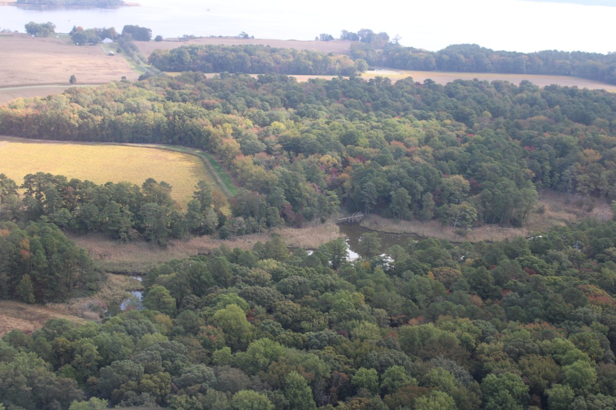
I had some time to kill on the way down so I cruised low down the Eastern Shore. This area is south of Rock Hall.
|
| |
 |
|
|
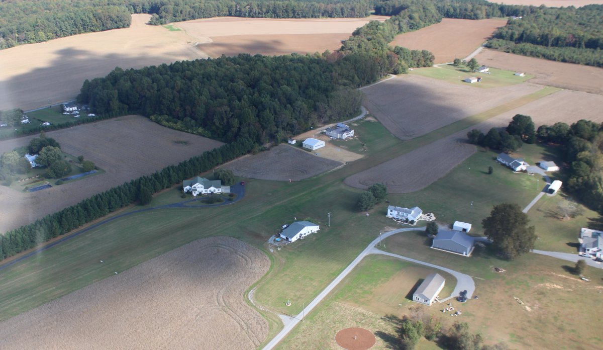
Passing by what used to be Talisman Farm Airfield: a private field with three 2,000 foot grass runways in triangle pattern. Alas, it closed before I ever had a chance to land there. Now you would never know there was an airport there.
|
| |
 |
|
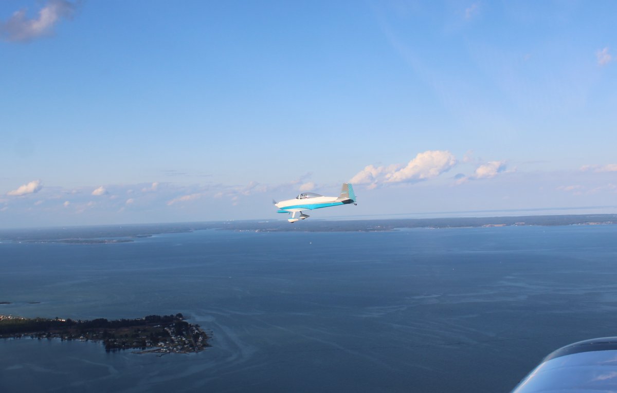
| About to cross the Potomac River and then turn southeast. |
| |
 |
|
|
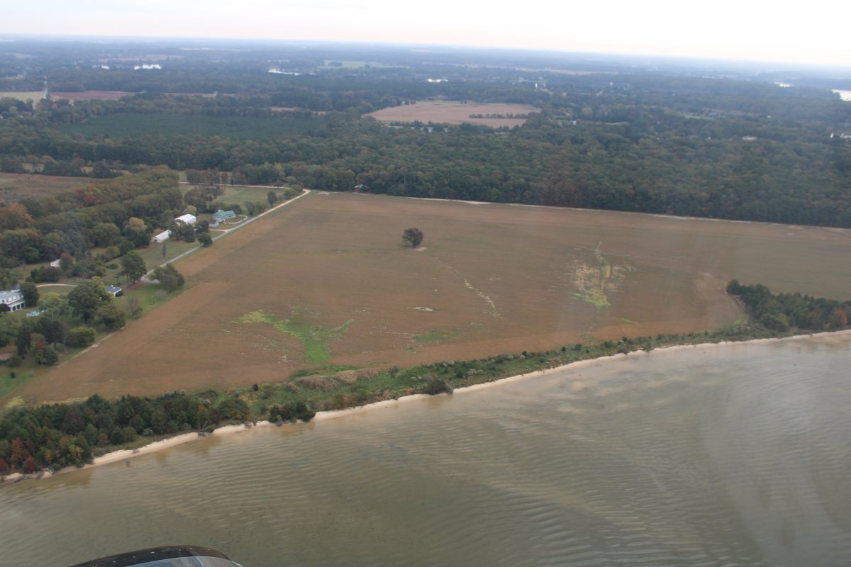
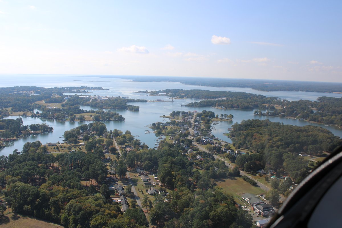
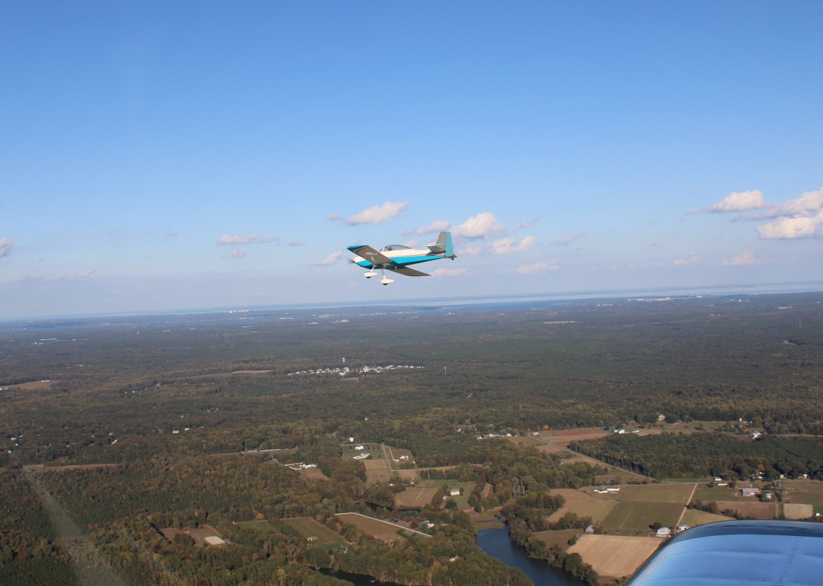
Flying on the southern side of the Potomac River. This peninsula is sparsely populated and pretty to fly over.
|
| |
 |
|
| Passing by what looks to be an airport community on a grass strip. |
| |
 |
|
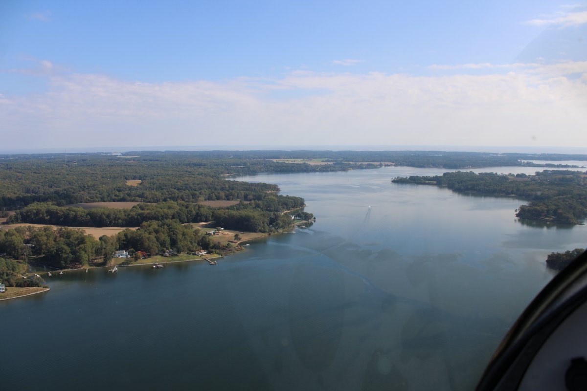
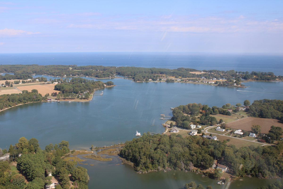
| Flying southeast up the Great Wicomico River. |
| |
 |
|
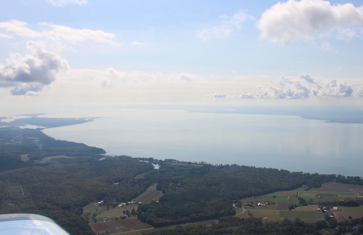
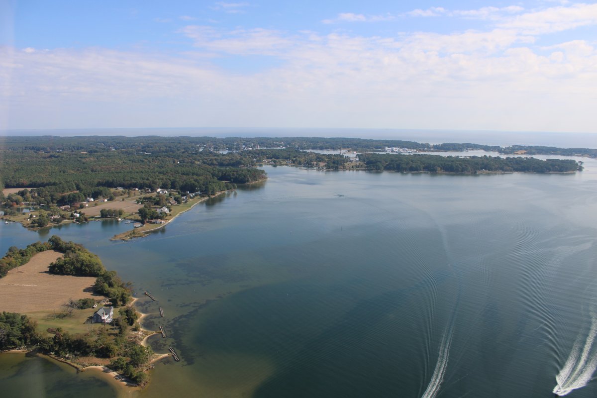
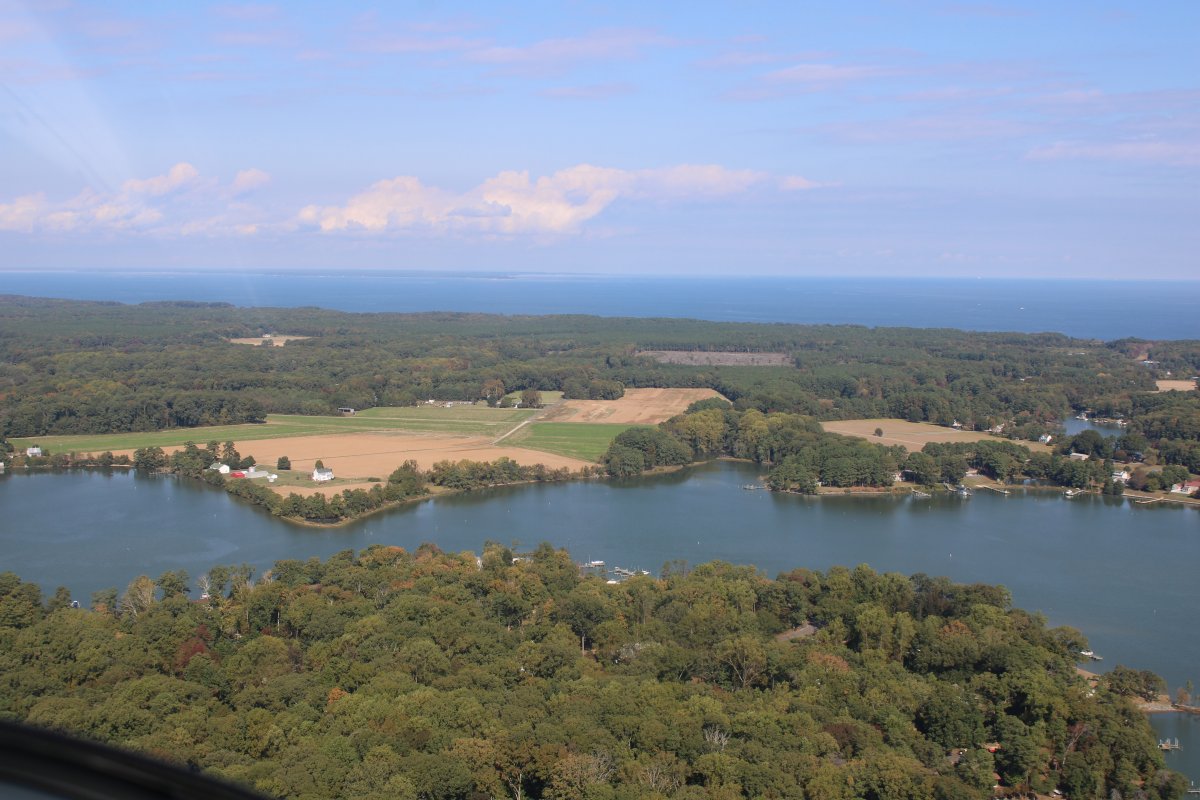
| Looking east. The Chesapeake Bay is in the distance. |
| |
 |
|
|
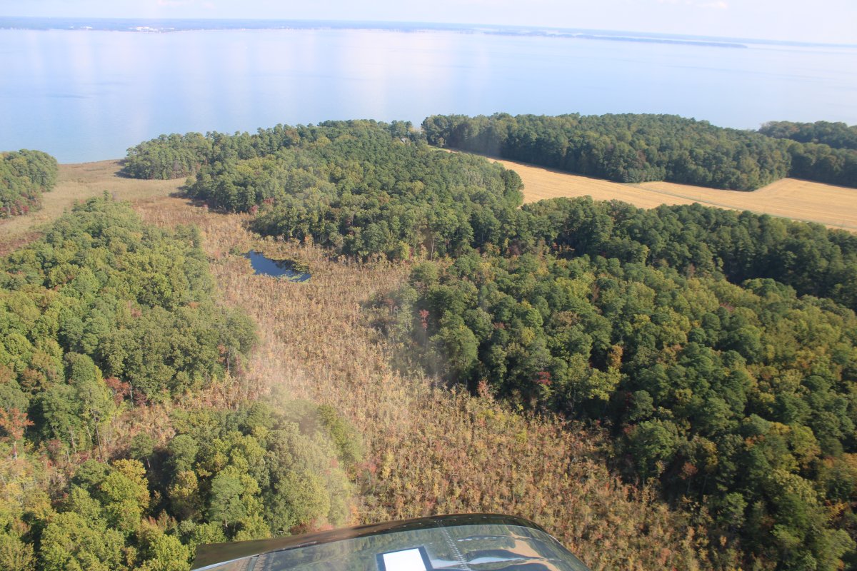
Looking south at Sandy Point.
|
| |
 |
|
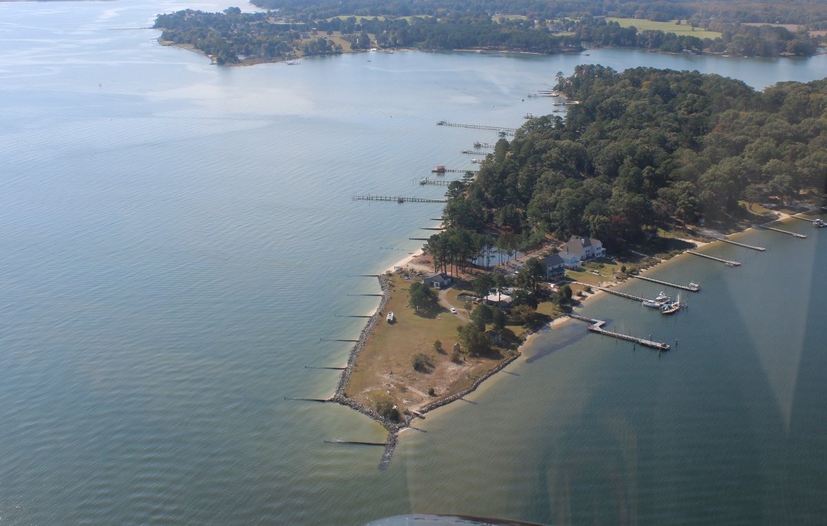
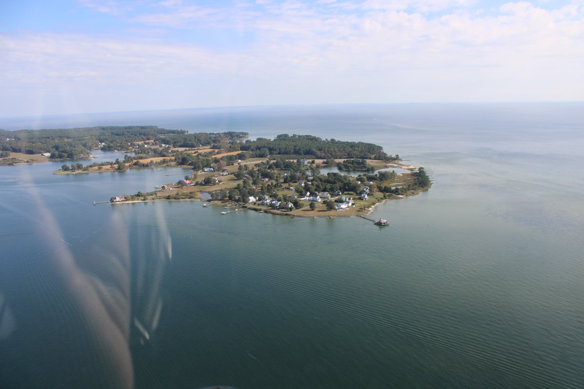
| Looking northeast at Fleeton Point. |
| |
 |
|
| A closer shot of Fleeton Point. |
| |
 |
|
|
Looking north up Cockrell Creek.
|
| |
 |
|
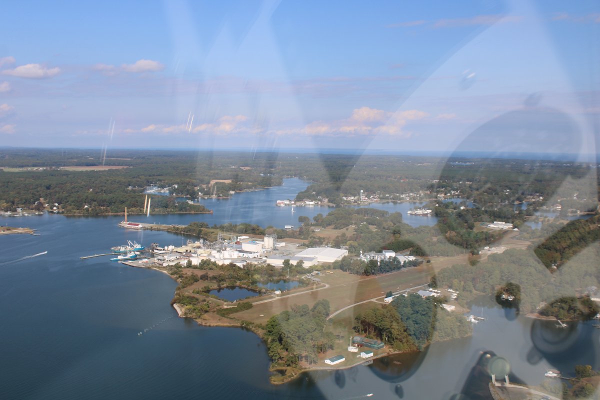
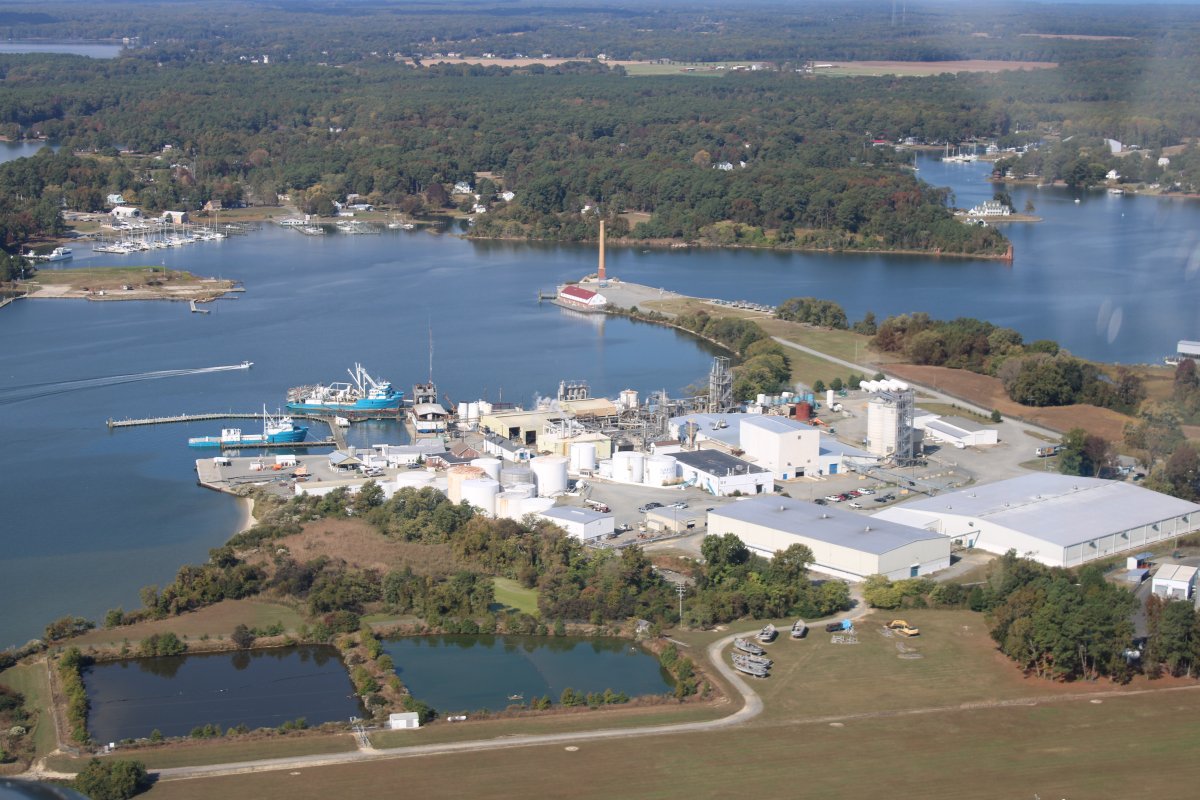
| A one time dozens of fish processing factories dotted the Northumberland coastline near Reedville and other fishing communities. But now there is only one: Omega Protein, seen below. The company, with several hundred employees, has a fleet of large oceangoing fish-harvesting vessels supported by a number of spotter aircraft. Menhaden, once caught, are cooked in large mass and processed for further use in various applications including as a protein additive for poultry feed; Tyson Foods is a large customer. |
| |
 |
|
|
A closer look at the fish processing factory.
|
| |
 |
|
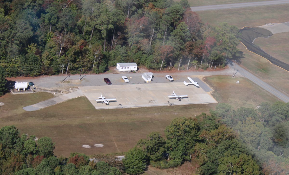
| They even have their own grass strip for fish spotter airplanes, seen below. |
| |
 |
|
|
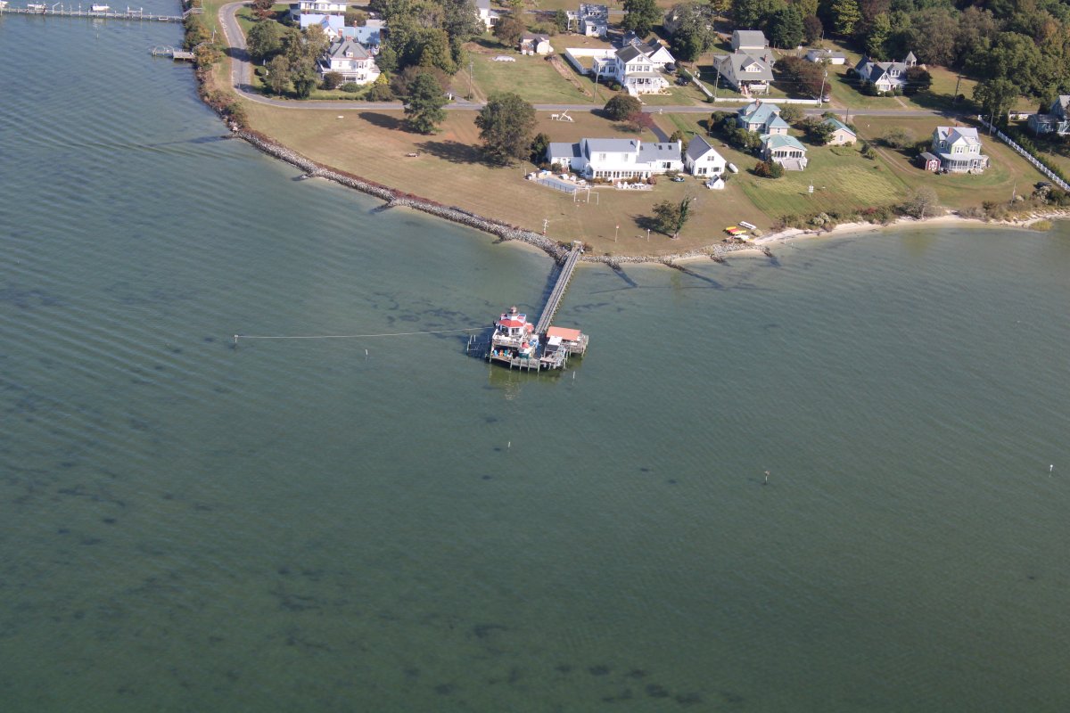
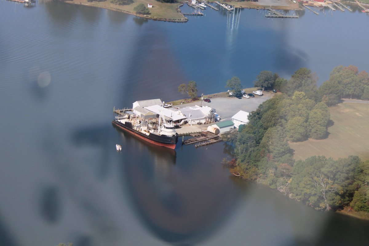
Looking down at the Crazy Crab, where we had lunch before. It's not too fancy, but the food was good and for a good price.
|
| |
 |
|
|
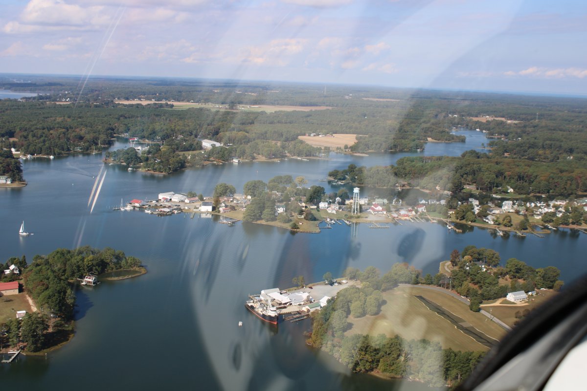
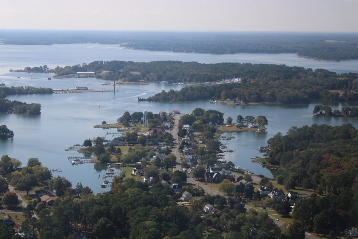
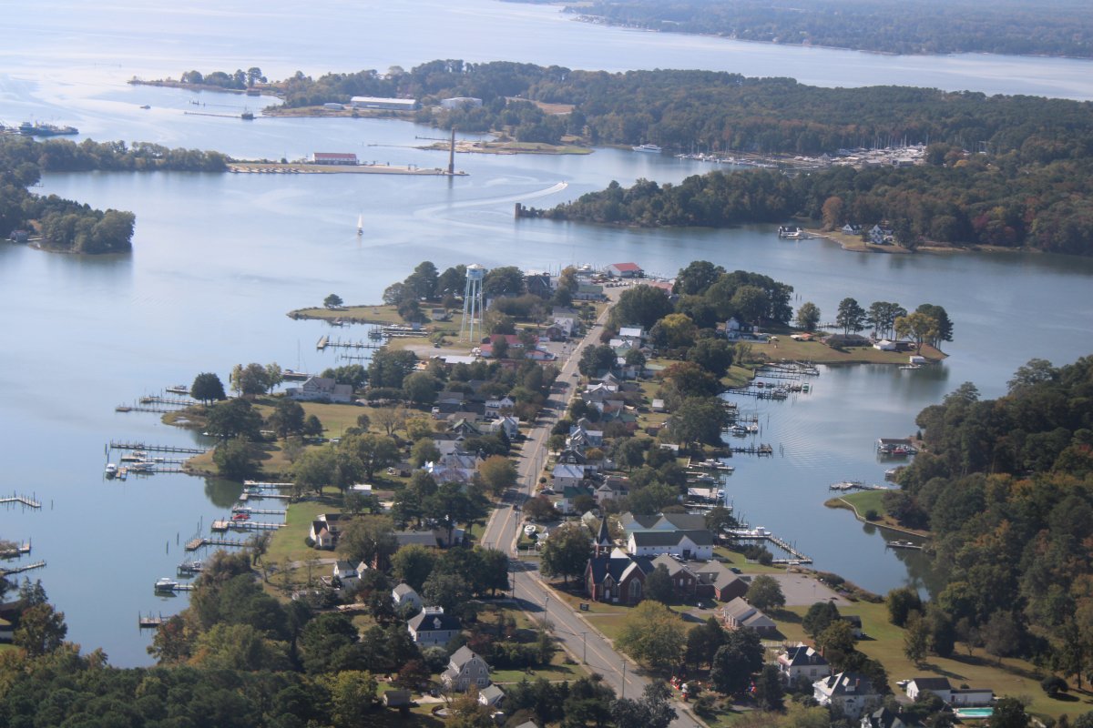
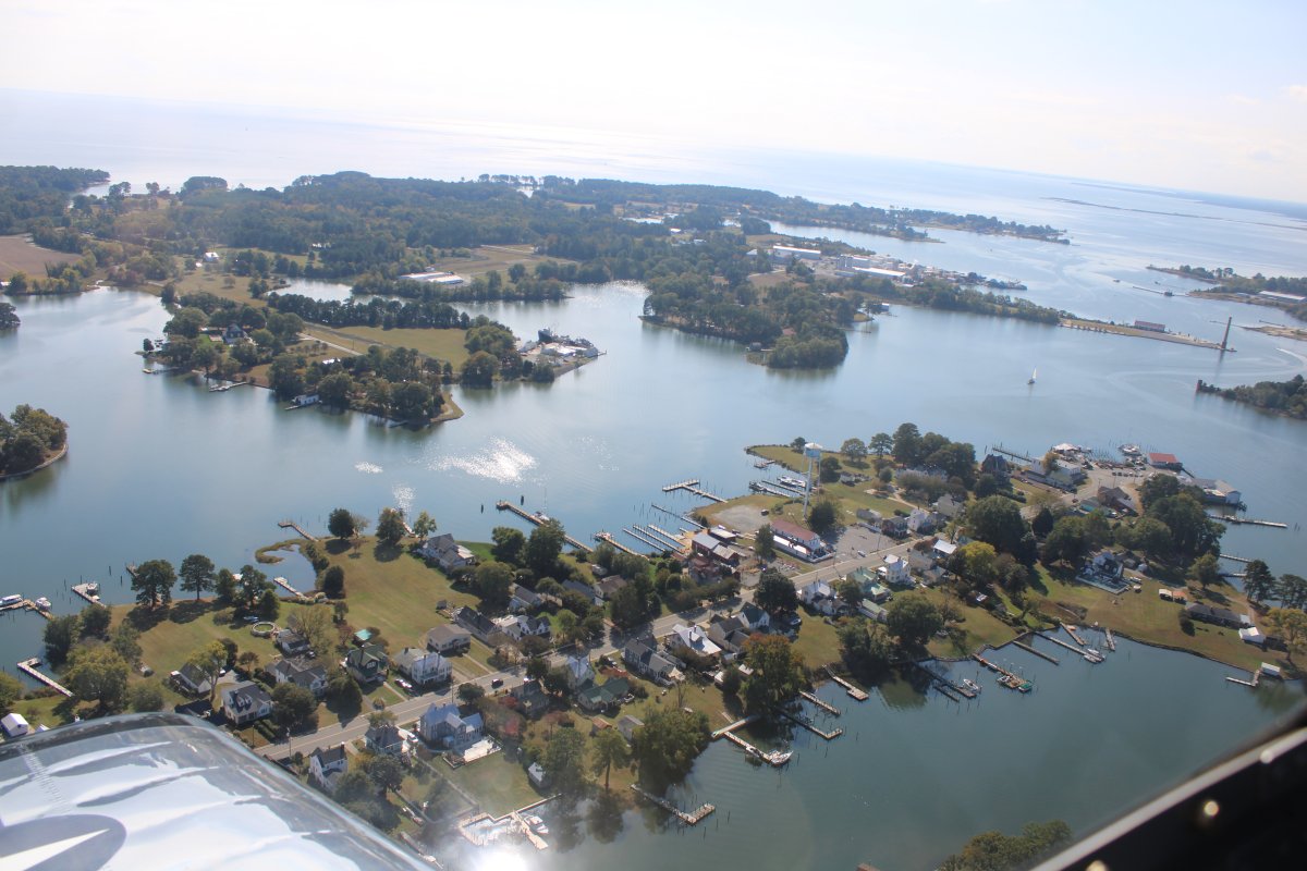
Reedville, pictured below on the peninsula with the water tower, was home to the fishing industry for Atlantic menhaden, a small oily fish found in great abundance in mid-Atlantic coastal waters.
As early as the 1620s, in the area which became New England, the Native Americans had taught the Plymouth Colony's settlers the value of burying menhaden in each hill of corn, as fertilizer.
Reedville is named for Captain Elijah W. Reed (1827-1888). In 1874, Reed, a sea captain from Maine, came south to the Chesapeake Bay and recognized the potential of the menhaden fishing industry. brought to the established community of watermen a method of extracting large quantities of oil from the fish, by rendering them by the millions. Their oil was used as a lubricant and in lighting, as whale oil was; and the leftover bones and carcasses were valuable as fertilizer. He opened the first processing plant. By 1885, Reedville was heavily engaged in the menhaden fishing industry. Menhaden processing factories on Cockrell Creek produced fish oil, meal, and fertilizer from menhaden. The menhaden fishing industry brought tremendous wealth to Reedville and to Northumberland County. Reedville, a town of approximately 500, was once known as the wealthiest town in the United States, due to its large income produced by the menhaden industry.
|
| |
 |
|
|
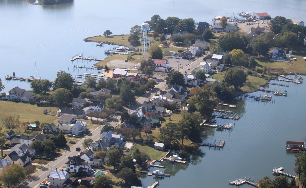
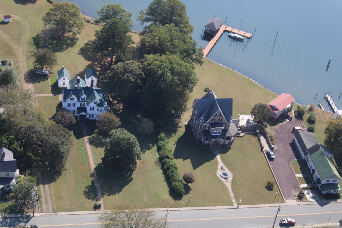
Fishing boat captains and factory owners, who made their fortunes from menhaden, built homes along what is now Main Street, also known as Millionaire's Row.
Looking down Main Street.
|
| |
 |
|
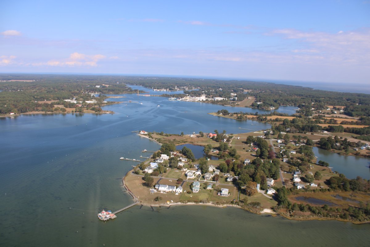
| Looking down Cockrell Creek and at Reedville. |
| |
 |
|
|
Another shot of Main Street, Reedville.
|
| |
 |
|
| |
| |
 |
|
|
|
| |
 |
|
| A couple of fancy homes, probably owned by ship boat captains or factory owners. |
| |
 |
|
|
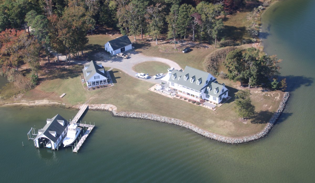
Across the water from Reedville is the waterfront estate currently owned by a man who made his money not from business but from "public service". I won't name him but he is a disgrace. A card-carrying member of the Establishment. He had one of the most important positions in government and did not do his job. Now he lives his best life on his Virginian waterfront estate while the country is coming apart.
|
| |
 |
|
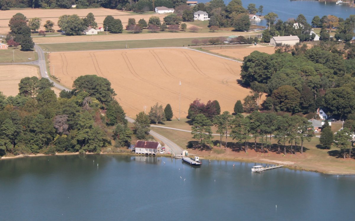
| Looking northeast at the Little Wicomico. A ferry service -- free, if you can believe it -- gets two cars at a time across. |
| |
 |
|
| The northern side of the ferry. The ferry boat is tied up to the pier. |
| |
 |
|
| Continuing north to Federhart Airstrip, which is in those trees somewhere. |
| |
 |
|
|
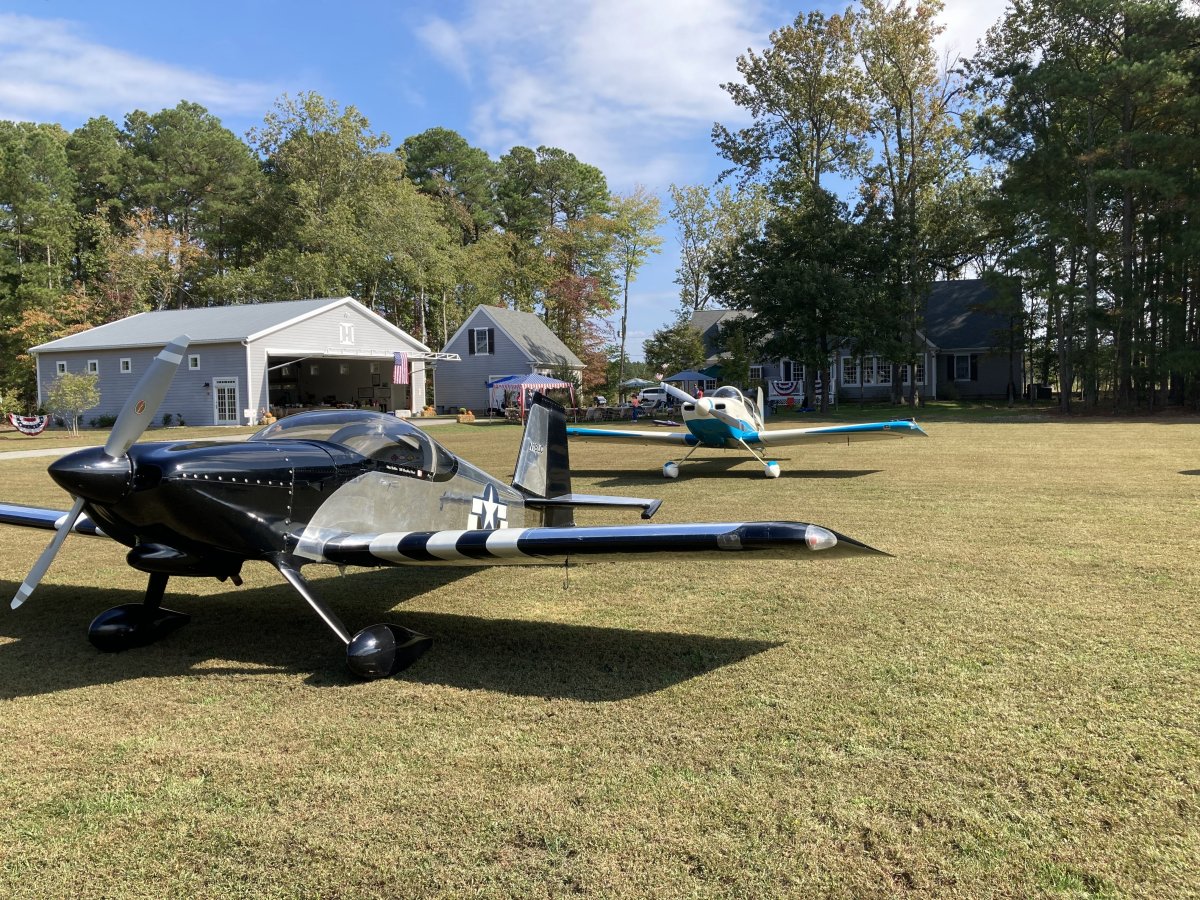
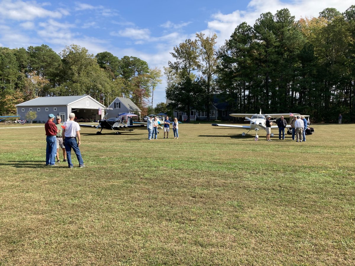
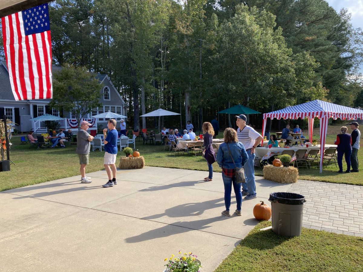
Safe on deck at the fly-in/party.
|
| |
 |
|
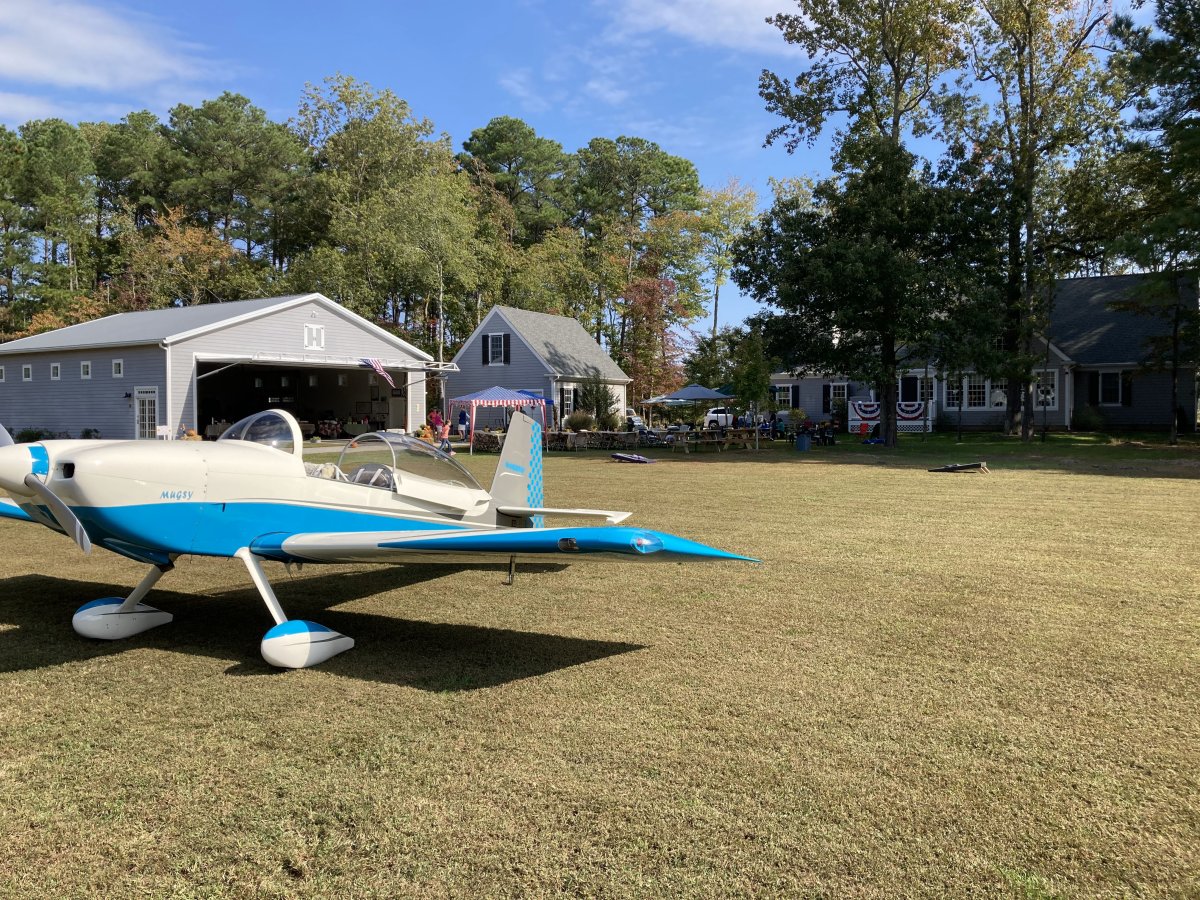
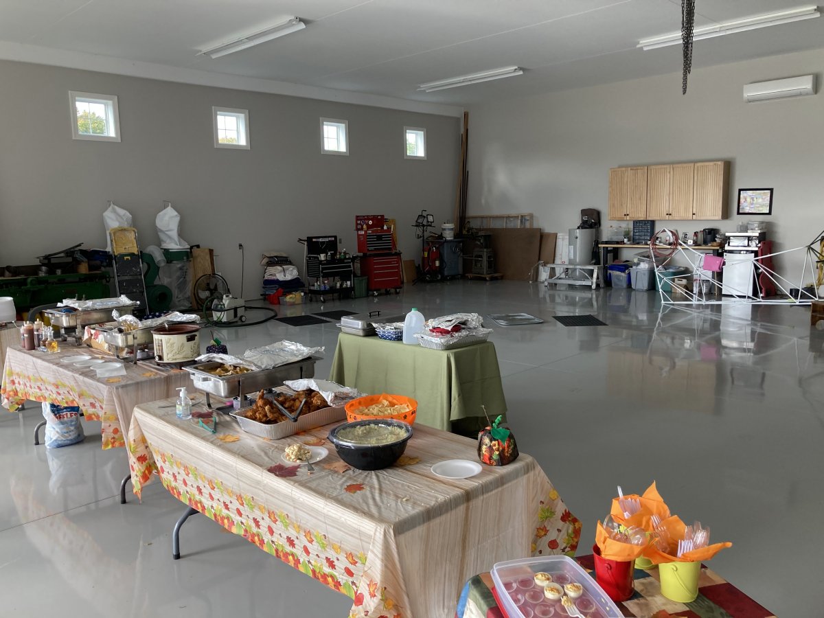
| Picnic tables are set up just to the right of Mugsy's rudder. The food was set up in the hangar to the left. |
| |
 |
|
|
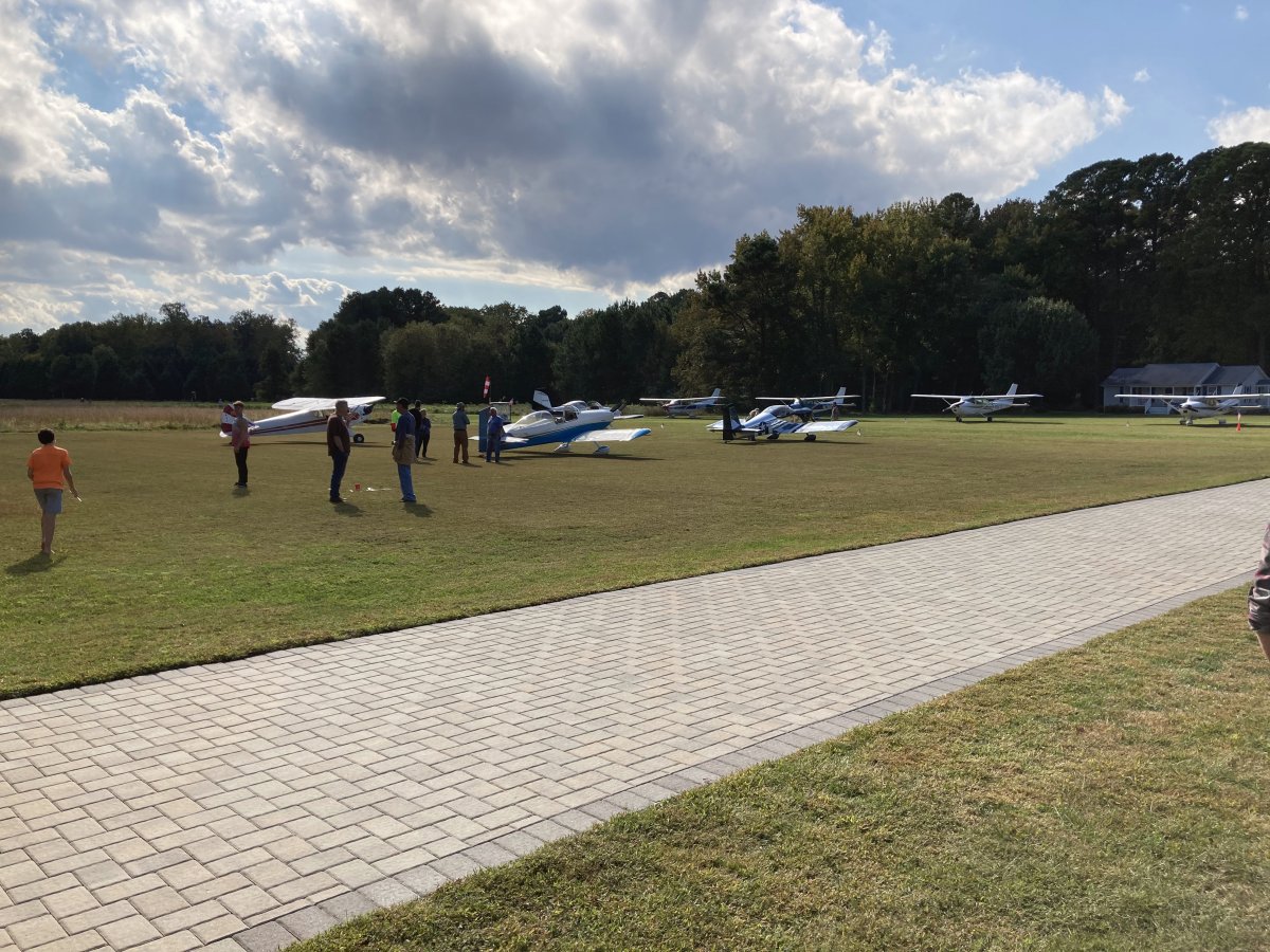
We spent an hour before lunch socializing. I'd say there were 15 or so planes. The party was invitation only.
|
| |
 |
|
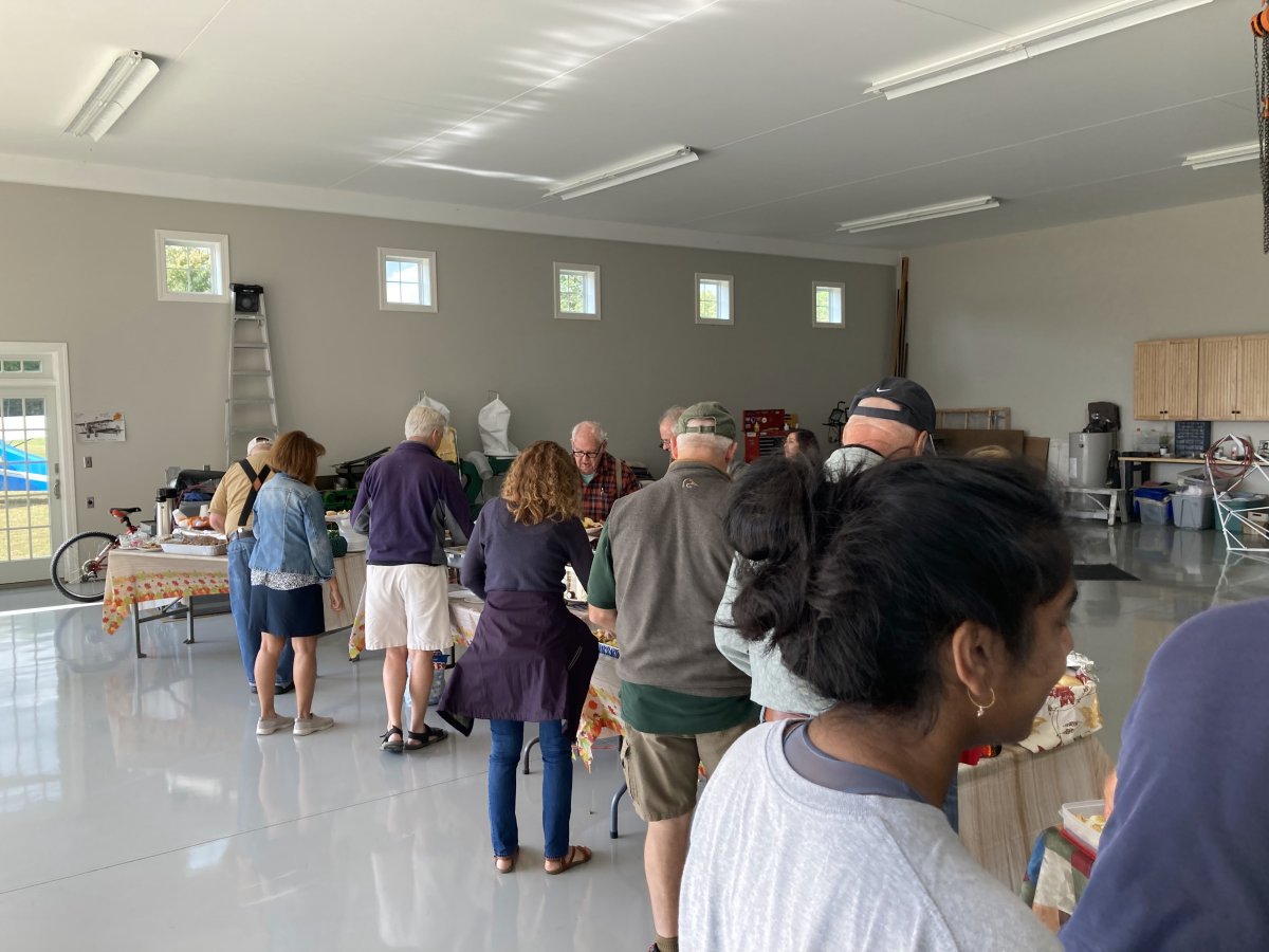
| Lunch is served! |
| |
 |
|
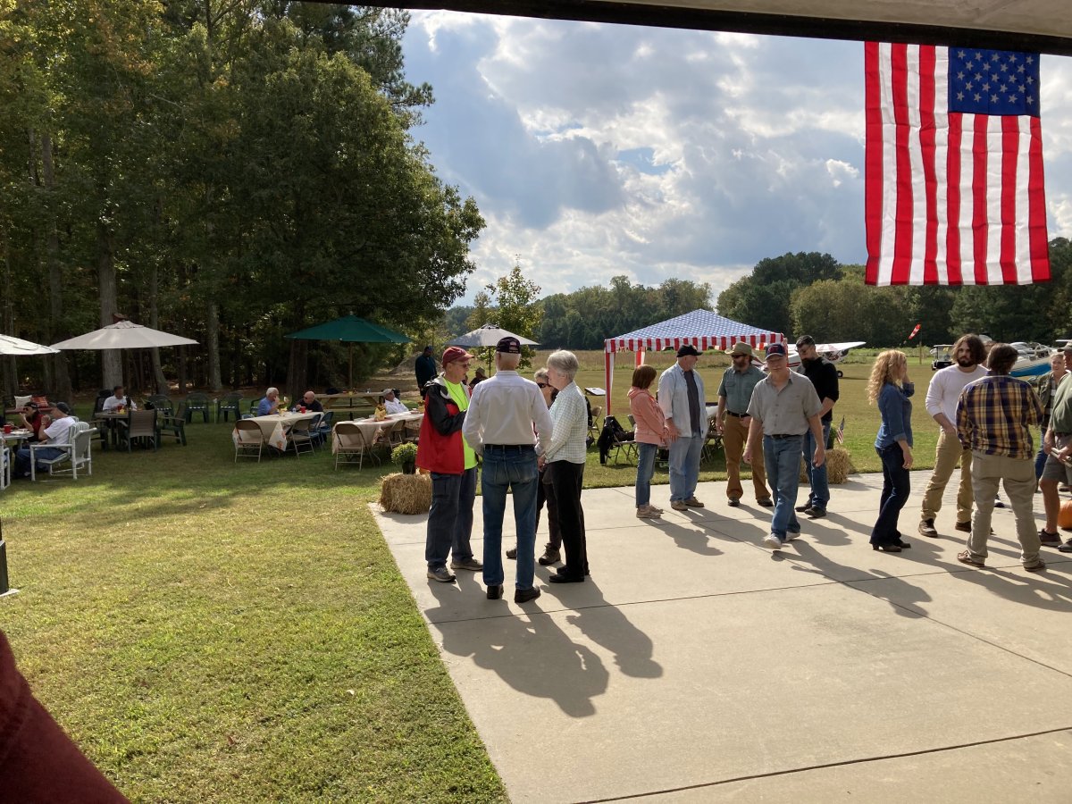
| Looking out the hangar. |
| |
 |
|
| The food was delicious and plentiful. Not a bad hangar, eh? |
| |
 |
|
|
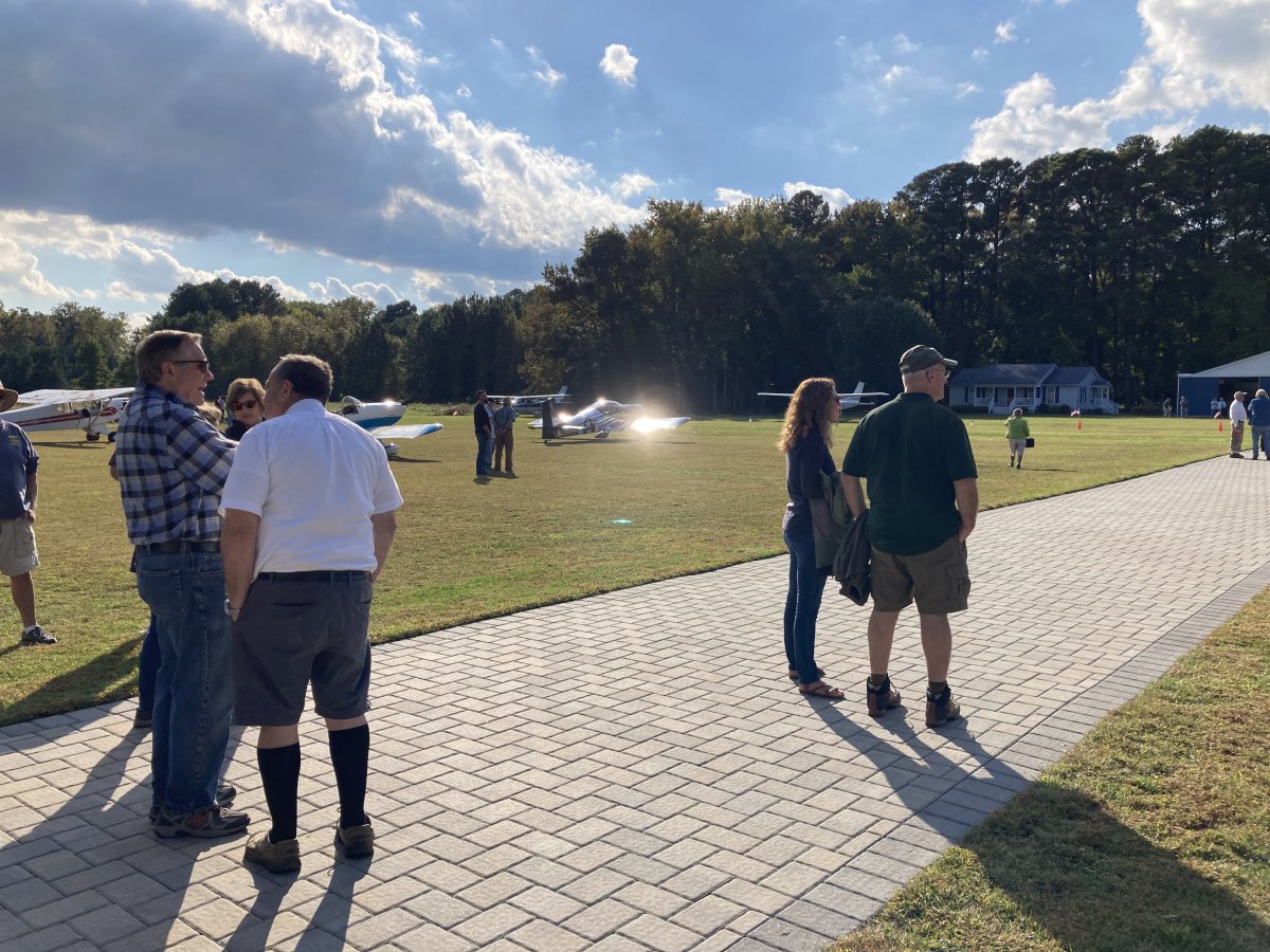
More socializing after lunch.
|
| |
 |
|
| |
| |
 |
|
|
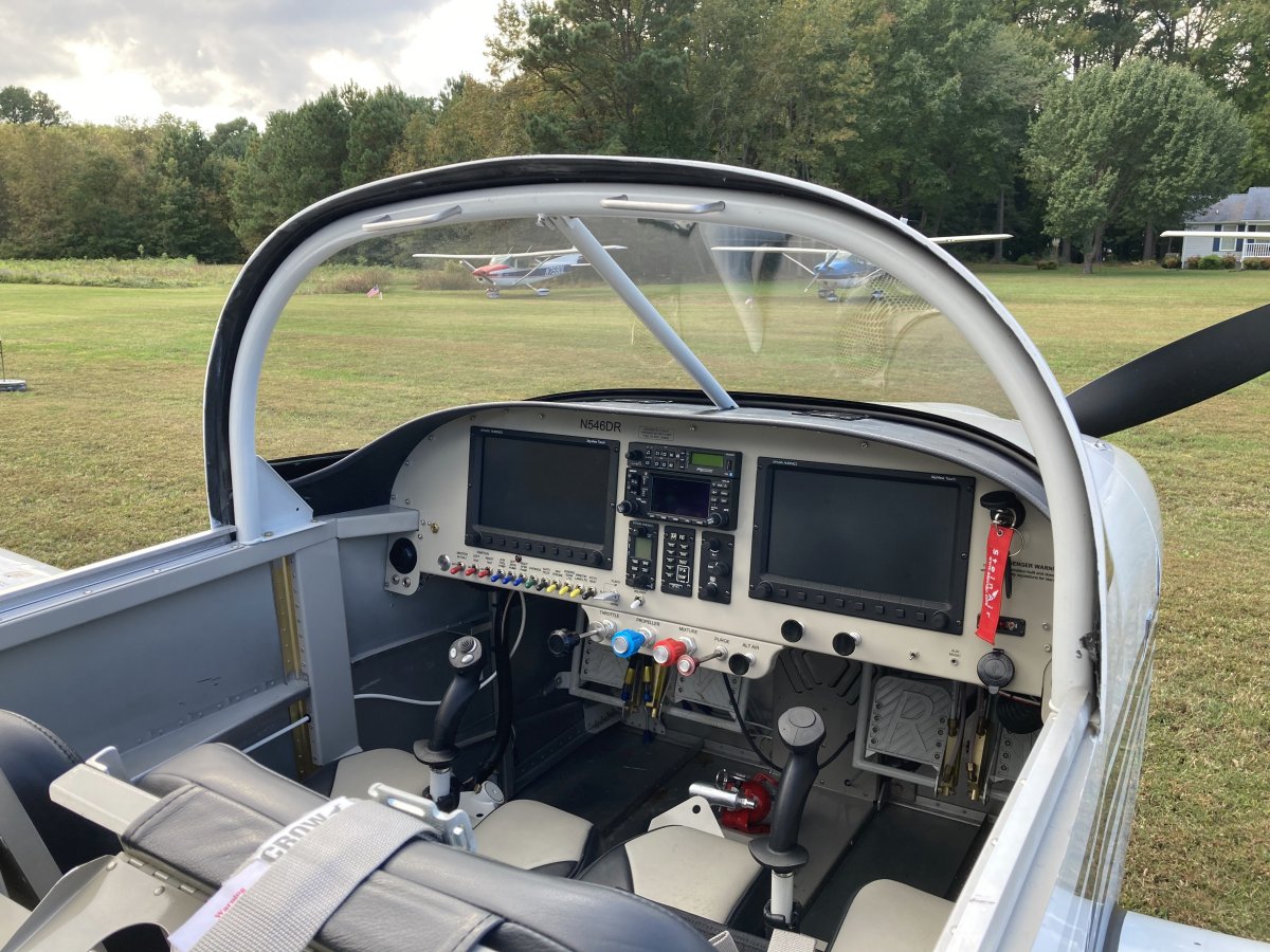
Looking at the cockpit of Don's RV-7A.
|
| |
 |
|
| Notice the bright sun reflection off my RV-7's right wing! |
| |
 |
|
| Mugsy and I put on a little show when we left. Now we are heading northwest up the southern shore of the Potomac River. The picture doesn't really convey what a beautiful, crisp fall day it was. |
| |
 |
|
| Your heart just sings flying on a day like today. |
| |
 |
|
|
Mugsy and I turning towards St. Mary's Airport where we will land to get fuel.
|
| |
 |
|
| Mugsy veered off towards Easton and I am heading by myself up the Eastern Shore. Annapolis and the Severn River is in the distance, at center. |
| |
 |
|
|
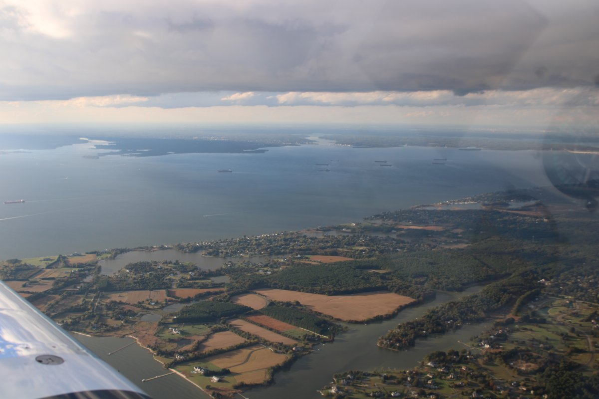
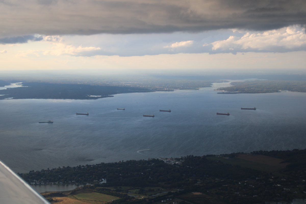
A closer look at Annapolis and the Severn River. What's the deal with all those tanker ships anchored out in the Bay?
|
| |
 |
|
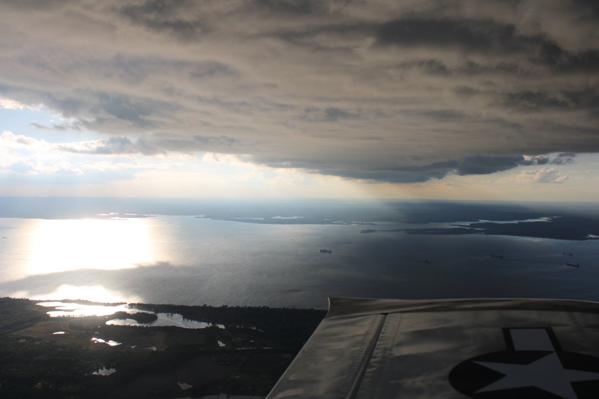
| Looking west. Pretty with the solid layer of clouds overhead. |
| |
 |
|
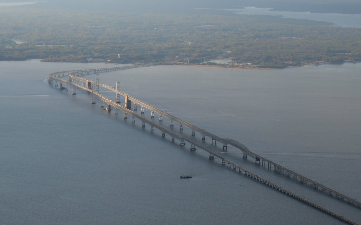
| The Chesapeake Bay Bridge gets lit up by the sun peaking through a hole in the clouds. |
| |
 |
|
| As I approach the northern tip of Kent Island, I can see bad weather to the northeast. But there is clear sailing northwest to Essex Skypark. |
| |
 |
|
|
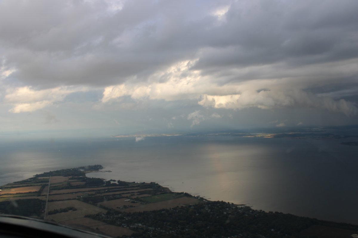
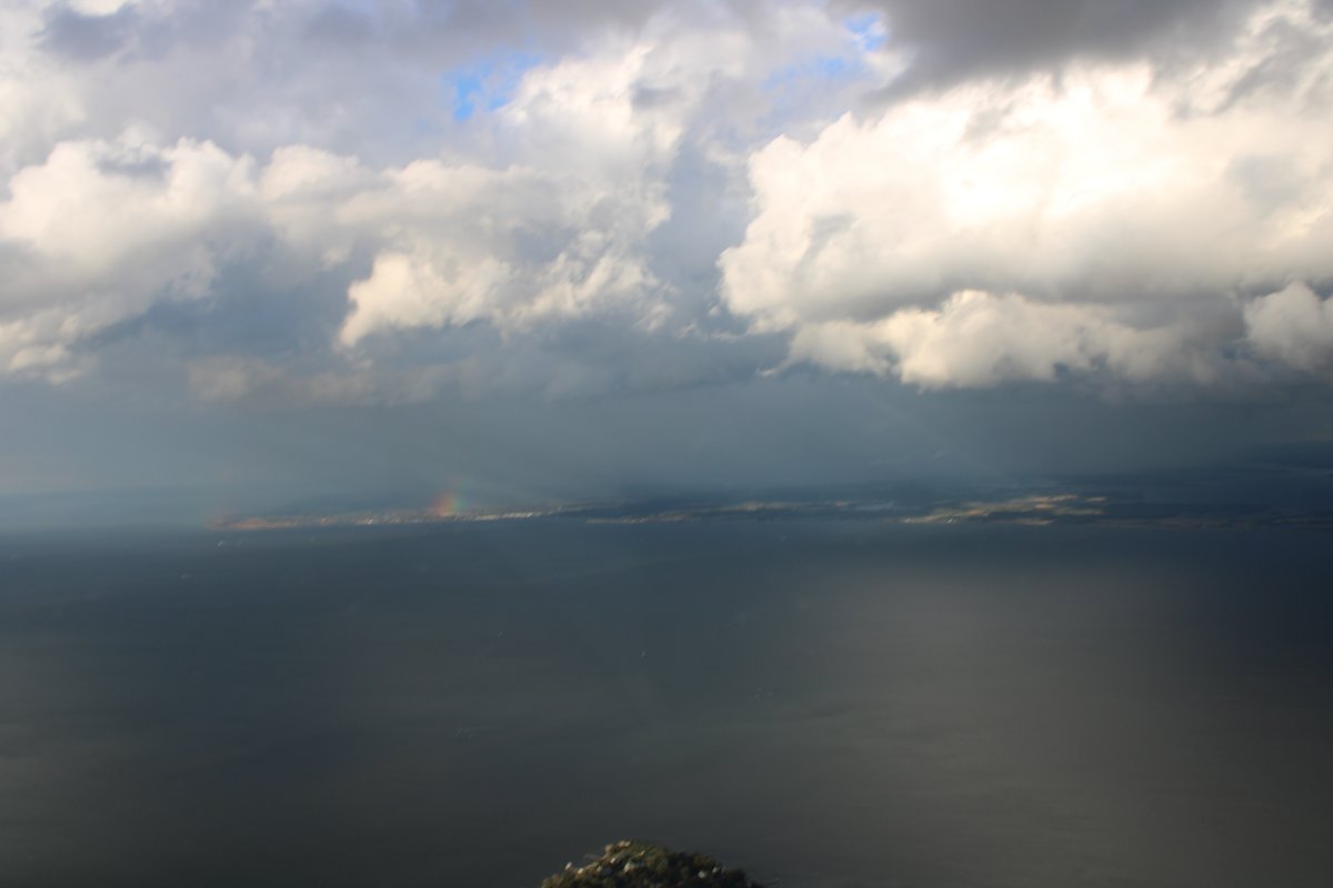
Flying past Rock Hall right now would be a bad idea. But there is a rainbow over there.
|
| |
 |
|
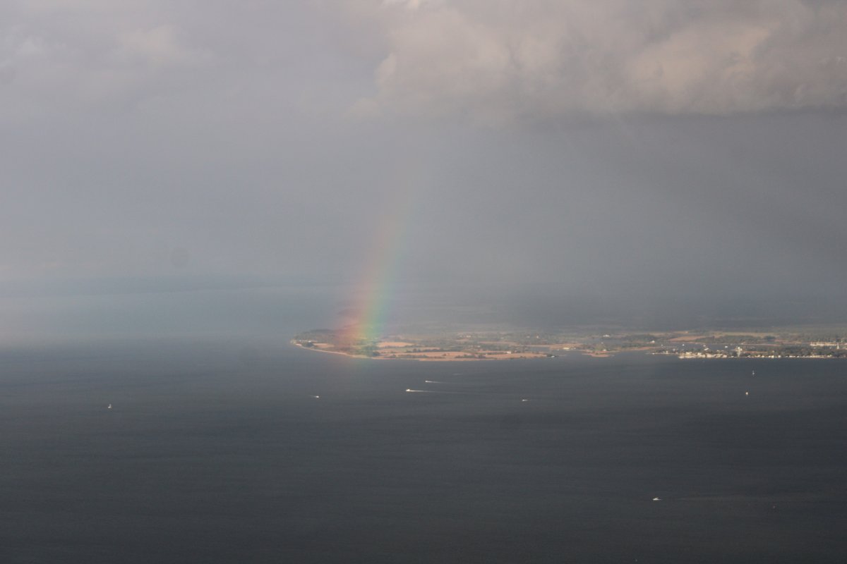
| I never have much luck taking pictures of rainbows; but this one came out fairly decent. To the right of the rainbow is heavy rain. |
| |
 |
|
| |
| |
|
|
|
|
|
|